
Key Takeaways
Temporary ERSS submissions require more than a well-designed retaining system. They depend on clear professional accountability, coordinated OpenBIM information, disciplined quality checks, and reliable revision control from design through removal.
- Confirm the CORENET-X submission scope and transition requirements early.
- Define responsibilities among Qualified Persons (QPs), C&S Consultants, BIM Managers, and the wider project team.
- Build the temporary ERSS model around accurate geotechnical, structural, and site information.
- Coordinate excavation support with permanent works, utilities, neighboring properties, and construction sequencing.
- Preserve a traceable record of submissions, comments, revisions, approvals, and removal conditions.
Understand CORENET-X and temporary ERSS submissions
CORENET-X changes the way project information is assembled and presented for authority review in Singapore. A temporary ERSS submission is therefore not simply a set of engineering drawings uploaded at the end of design. It is a coordinated information deliverable in which the model, calculations, drawings, specifications, and professional approvals must tell the same story. Early decisions about scope and responsibility reduce avoidable rework later.
What CORENET-X changes in the authority submission process
The move toward a more integrated digital submission environment places greater emphasis on structured information and consistency between disciplines. Teams need to understand which information is required, who owns it, how it will be checked, and how it will be exchanged before the submission package is assembled. A model that looks complete but lacks reliable object information can still create questions during review.
For a QP, this means the submission workflow must be considered alongside statutory accountability, not as a separate administrative exercise. For the BIM Manager, it means setting up a dependable process for model federation, naming, exchange, and issue tracking. The Qualified Person role is a useful reference point for understanding why professional responsibility remains central even when information is delivered digitally.
What temporary Earth Retaining and Shoring Systems (ERSS) cover
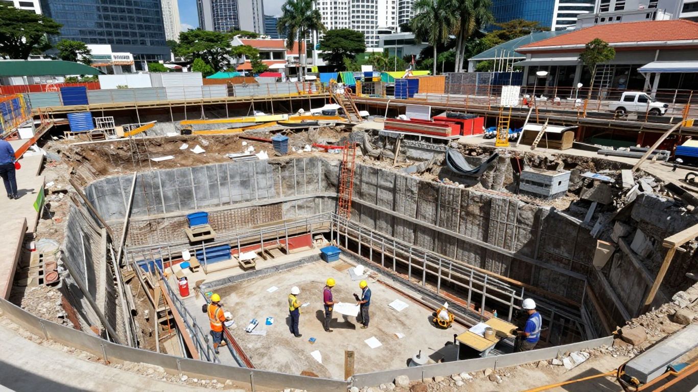
ERSS supports excavated ground during construction and helps control ground movement around deep excavations. Depending on the site and construction method, the system may include retaining walls, piles, struts, walers, anchors, bracing, ground improvement, instrumentation interfaces, and temporary access or support components. Its design depends on soil and groundwater conditions, excavation depth, nearby structures, allowable movement, and the planned sequence of work.
The temporary condition also matters. A system may change as excavation proceeds, levels are reached, struts are installed, or permanent slabs begin to provide support. The model should make those states understandable without implying that a temporary component is part of the permanent asset. That distinction is particularly important when the federated model is reviewed by people who were not involved in the original design discussions.
How CORENET-X differs from legacy submission workflows
Legacy workflows often encouraged teams to treat drawings, reports, and discipline models as separate packages. That approach can conceal small discrepancies: a wall thickness may differ between a drawing and calculation, an anchor may appear in one file but not another, or an excavation stage may be described differently in the method statement. A digital submission process makes these gaps easier to identify and harder to dismiss.
The practical response is not to model every construction detail indiscriminately. It is to define the information that supports authority review and coordination, then validate that information systematically. Consistency across deliverables is more valuable than visual complexity by itself.
Which projects and submission stages require careful transition planning
Transition planning is especially useful for projects that have already started design under an older process, projects moving between submission stages, and projects with several parties producing linked files. Deep excavations near existing buildings, roads, utilities, or sensitive structures also deserve early planning because their temporary conditions can affect many design decisions.
The team should identify the point at which the submission basis changes, the information already approved, the information still under development, and the records that must be retained. A short transition register can clarify whether each item is existing, revised, superseded, or awaiting confirmation. This avoids treating a change in portal or submission convention as an isolated software task.
Establish the project team and professional responsibilities
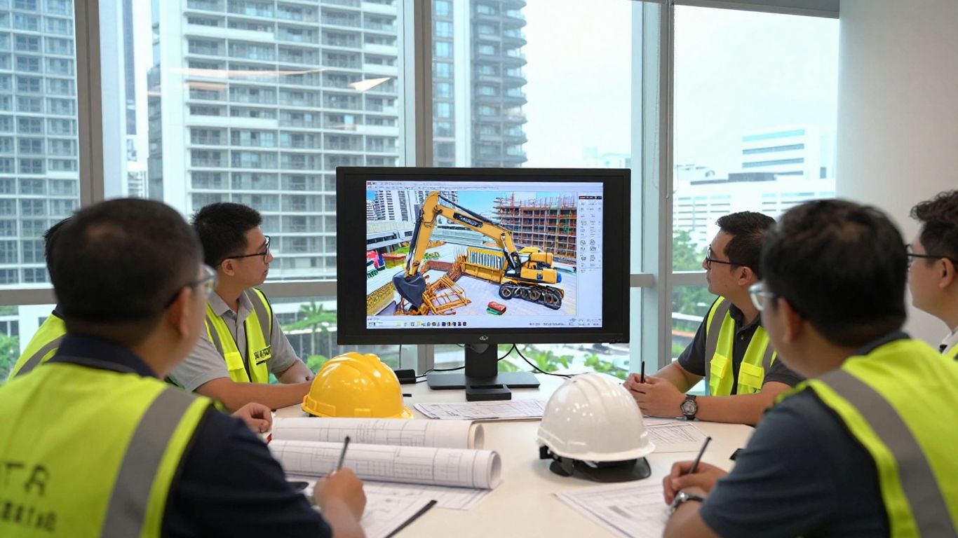
A successful ERSS submission is a coordinated professional process, not a BIM Manager’s task alone. The QP retains the relevant statutory role, while the C&S Consultant develops and coordinates the engineering design and the BIM Manager organizes information delivery. Architects, contractors, surveyors, geotechnical specialists, and other consultants contribute information that can materially affect the temporary works. Clear interfaces should be agreed before modelling begins.
Qualified Persons (QPs) and statutory accountability
Qualified Persons (QPs) must understand the submission scope, the design basis, and the limits of information being presented for approval. Their review should cover not only whether documents are present, but whether the model and supporting material accurately describe the proposed temporary works. Where a design change affects the submission basis, the QP should know when it occurred and which related documents must be updated.
This role cannot be reduced to a final signature. The QP needs a clear route to design decisions, calculations, coordination records, and outstanding issues. That visibility allows professional judgment to be exercised on a complete and current information set.
C&S Consultants for ERSS design and engineering coordination
The C&S Consultant typically leads the structural and civil engineering coordination needed to turn site and geotechnical information into a workable ERSS design. This includes checking load paths, temporary support conditions, interfaces with permanent works, and the effects of construction sequence. The consultant should also identify assumptions that require confirmation during construction or monitoring.
A useful design package explains how the model relates to calculations and drawings. It should distinguish design intent from contractor means and methods where the two are not identical. When an element cannot be represented precisely in the OpenBIM model, the limitation should be recorded rather than hidden.
BIM Managers and information delivery responsibilities
BIM Managers establish the information delivery process, coordinate exchanges, and help the team maintain a dependable federated model. Their responsibilities may include setting file structures, checking coordinates, managing linked models, running model validation, and ensuring that issues are assigned to named parties. They do not replace the design responsibility of the QP or C&S Consultant.
The BIM and Tekla service material describes a digital strategy based on consistent information architecture and structured delivery. In a project context, BIM & Tekla 3D Engineering Services can be considered where the required scope matches model production, structural detailing, and multidisciplinary coordination. The exact appointment and deliverables should still be agreed in the project information requirements.
Coordination with architects, contractors, surveyors, and other consultants
Architectural and permanent structural information defines much of the space in which ERSS must be installed and removed. Contractors contribute sequencing, access, temporary loading, and constructability information. Surveyors provide site control and observed conditions, while utility and geotechnical specialists help identify constraints that are not visible in a design model.
The team should agree who can author, review, approve, and issue each information package. It is also helpful to define how urgent field information is incorporated without allowing an informal site sketch or message to become the only record of a design change.
Prepare the ERSS information requirements before modelling
Model production becomes slower and less reliable when the team starts with geometry before agreeing what the submission must communicate. The project should first establish its boundary, design basis, information uses, exchange requirements, and file conventions. These decisions give the model a purpose and provide a fair basis for checking whether it is ready.
Confirm project boundaries, submission scope, and authority requirements
Begin by identifying the site limits, excavation limits, affected structures, relevant submission stage, and authority information expected for that stage. Confirm whether the model covers only ERSS or also related temporary works, monitoring points, site constraints, and interfaces with permanent construction. A written scope prevents gradual expansion into unreviewed or unnecessary modelling.
The submission register should name the responsible professional, required supporting documents, expected formats, review status, and dependencies. It should also record exclusions. Knowing what is outside the model is often as useful as knowing what must be included.
Gather geotechnical, structural, and site investigation information
The ERSS design basis should be assembled from current site investigation data, geological interpretation, groundwater observations, survey information, adjacent structure records, and relevant permanent works information. Boreholes, in-situ testing, laboratory results, and monitoring data should be traceable to the assumptions used in design. Missing or uncertain information should be flagged rather than silently converted into precise-looking geometry.
For complex excavations, a specialist geotechnical review may be needed before the model is developed. The deep excavation design information described by RCY Construction illustrates the type of investigation and assessment that can inform temporary earth retaining work, although the appointed project consultant remains responsible for the project-specific design basis.
Define model uses, level of information, and exchange requirements
The model should answer practical questions. Can reviewers understand the retaining arrangement and excavation stages? Can the coordination team check clearances and interfaces? Can the contractor relate the model to drawings and sequencing? The answers determine the required geometric detail, properties, classifications, and exchange format.
Agree whether the model is intended for authority submission, design coordination, construction planning, quantity review, or record purposes. One model may serve several uses, but each use should have defined information requirements. Otherwise, teams may spend time adding detail that does not improve review or construction decisions.
Set naming conventions, coordinates, classifications, and file standards
File names and object names should be predictable across disciplines. Establish the project coordinate system, units, origin, model breakdown, classification approach, revision codes, and status values before authoring begins. The approach should also state how linked files are referenced and how exported OpenBIM files are checked after translation.
A simple information standard can address the core controls without becoming a long manual. It should explain who approves changes, how shared models are issued, and which values are mandatory for ERSS objects. Consistency at this stage makes later validation substantially more efficient.
Build a compliant temporary ERSS OpenBIM model
The ERSS model should be clear enough to support professional review and coordination while remaining faithful to the design basis. It needs to distinguish temporary elements from permanent works and show how the arrangement changes during excavation. Geometry is only one part of that task; status, responsibility, dimensions, materials, and relationships also matter.
Model retaining walls, struts, anchors, walers, piles, and excavation stages
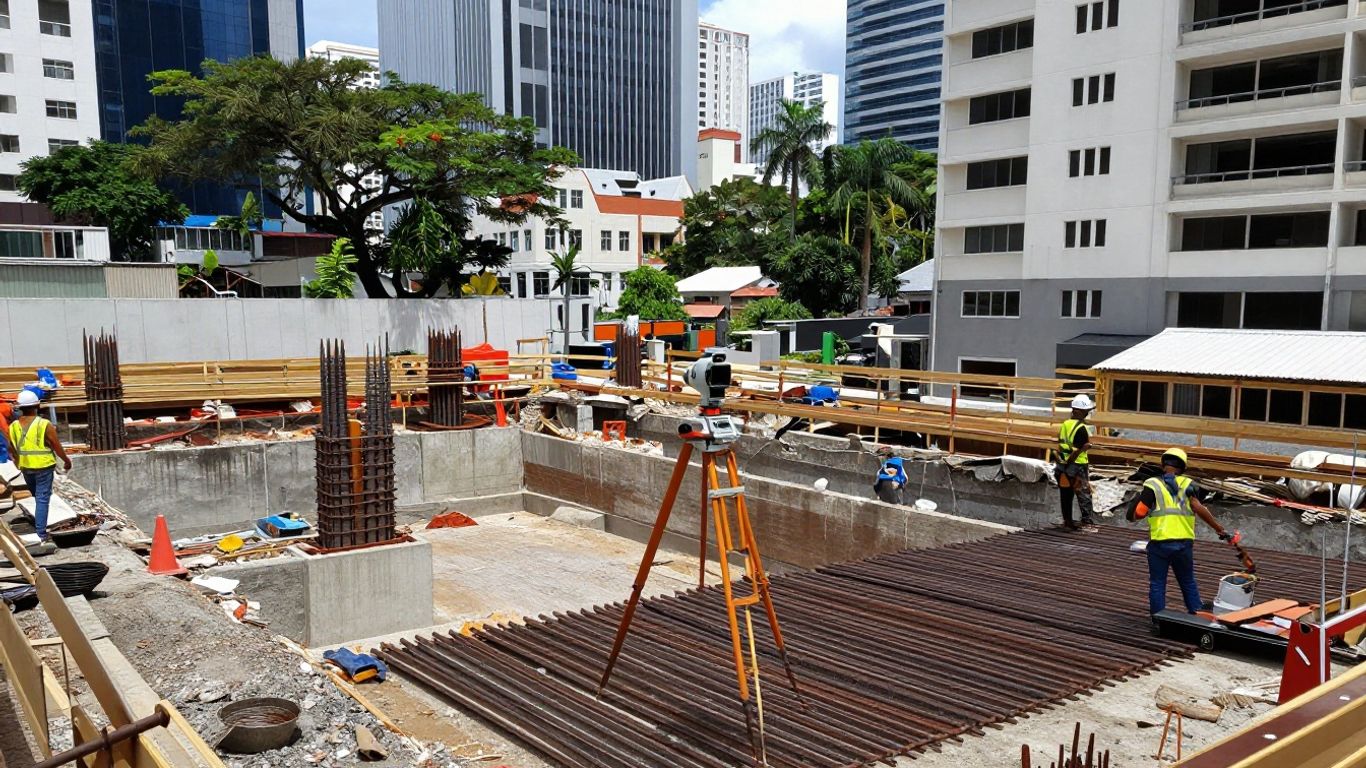
Start with the primary retaining arrangement and then add the support components that affect load transfer, access, clearance, and construction sequence. Retaining walls, soldier or bored piles, struts, walers, anchors, braces, and relevant connection zones should be located consistently with the design drawings. Excavation stages should be understandable as separate states rather than a single completed condition.
Where the design includes multiple support levels, the model should communicate their relationship to excavation depth and temporary loading. It should also identify elements that are installed, altered, or removed at each stage. This makes coordination discussions more concrete and helps reviewers follow the engineering narrative.
Represent temporary works clearly within the federated project model
Temporary ERSS elements should have a distinct status or classification so they are not mistaken for permanent structural components. A federated model can show their relationship to slabs, foundations, basements, access routes, and architectural constraints, but the discipline ownership must remain clear. View settings, naming, and colour conventions should support that distinction without relying on colour alone.
The model should also show the temporary works in the conditions where they matter most. A strut that is clear in the final excavation view may conflict with a ramp, reinforcement zone, plant route, or permanent wall during an earlier stage. Stage-based views help expose those practical conflicts.
Include properties for materials, dimensions, design status, and responsibility
Object properties should be selected for a reason. A retaining wall may need its material, thickness, top and bottom levels, design status, phase, and responsible discipline. A strut may need its section, length, level, support condition, and installation or removal status. The required fields should follow the agreed information requirements rather than the capabilities of whichever authoring tool is being used.
A compact property review can help the team focus on information that supports decisions:
| Model information | Why it matters | Typical reviewer | Check point |
|---|---|---|---|
| Element identity and classification | Distinguishes temporary components and supports traceability | BIM Manager | Naming and object type |
| Dimensions and levels | Supports spatial and design coordination | C&S Consultant | Geometry against drawings |
| Material and design status | Clarifies design basis and approval state | QP and C&S Consultant | Status matches issue record |
| Phase and responsibility | Explains sequence and ownership | Contractor and BIM Manager | Stage and owner are current |
The table is not a substitute for engineering review. It is a practical minimum for making model information searchable and understandable. Properties that cannot be verified should be marked as pending, with an owner and due date.
Manage model versions, linked files, and geometry that cannot be fully represented
Version control should preserve the relationship between an issued model, its linked references, and the documents reviewed with it. Do not overwrite a submitted model with a later working file. Instead, issue a new revision, retain the previous package, and record the reason for change and its effect on calculations, drawings, and approvals.
Some construction details, specialist connections, monitoring arrangements, or temporary site measures may not fit cleanly into a standard object. In those cases, use an appropriate proxy, linked detail, or documented note, and explain the limitation in the supporting information. The goal is an honest and coordinated information set, not false precision.
Coordinate the ERSS model with the wider design
ERSS rarely exists in isolation. Excavation limits influence foundations, basement walls, utilities, access, waterproofing, temporary works, and neighboring assets. Coordination should therefore take place throughout design development, not only immediately before submission. The model provides a useful shared reference, but decisions still need named owners and recorded outcomes.
Federate ERSS, architectural, structural, and MEP models
Federation begins with disciplined origins, coordinates, units, and model versions. Bring the ERSS model together with the architectural, structural, and MEP models using a repeatable process, then review both physical intersections and clearance requirements. A clean federation makes it easier to distinguish a genuine design conflict from a translation or coordinate problem.
A multidisciplinary coordination workflow can include regular review meetings, visual issue reports, and iterative model updates. The engineering service material identifies clash detection and coordination meetings as practical methods for categorizing conflicts and tracking resolution. Those methods are most effective when the issue record points back to a precise location and model revision.
Check excavation limits against foundations, basements, and permanent works
Compare the excavation footprint with permanent foundations, basement walls, pile caps, transfer structures, waterproofing zones, and construction access. Consider not only the final geometry but also partially completed conditions. Temporary supports may impose loads on permanent elements before those elements reach their final strength or continuity.
This review should include cast-in items, brackets, anchors, openings, and areas where temporary supports must later be removed. The interface between temporary and permanent works deserves explicit design attention because an apparently minor support detail can affect both load conditions and construction sequence.
Review underground utilities, neighboring structures, and site constraints
Existing utilities and adjacent structures may determine the feasible ERSS arrangement and allowable movement. Review survey data, utility records, monitoring points, party wall conditions, road reserves, drainage, groundwater, and access restrictions against the federated model. Where records conflict with observed conditions, the uncertainty should become a tracked issue.
The model cannot eliminate the need for site verification. It can, however, give surveyors, contractors, consultants, and QPs a common spatial reference for deciding what must be confirmed and what protection or monitoring is required.
Record clashes, design changes, and resolution responsibilities
Every significant clash should receive an identifier, location, description, responsible party, target date, and status. The record should distinguish an actual physical conflict from a clearance concern, an information gap, or a coordination question. Once resolved, the related model and document revisions should be linked to the issue.
A short coordination record is often more valuable than a long meeting transcript. It should state the decision, the person who made it, the information used, and any follow-up required during construction. This preserves the reasoning behind the model rather than only its final appearance.
Run quality assurance and submission readiness checks
Quality assurance should be staged throughout production, then repeated before issue. A final visual walk-through alone will not identify missing properties, broken links, inconsistent statuses, or a mismatch between the model and calculations. Independent checking is especially valuable for temporary works because the design is closely tied to sequence and changing site conditions.
Validate geometry, object data, model integrity, and file naming
Check coordinates, units, levels, element relationships, object classifications, property completeness, file names, revision codes, and linked references. Open the exported file in the intended review environment and confirm that the information survived translation. Isolated tests in the authoring platform are not enough.
The check should also look for duplicated objects, hidden elements, invalid geometry, unconnected supports, and model corruption. Record the result in a validation log, including exceptions that are accepted temporarily and the person responsible for closing them.
Check design consistency against calculations, drawings, and specifications
The model, drawings, calculations, specifications, and design statements must describe the same arrangement. Compare wall locations, support levels, member sizes, anchor positions, materials, excavation stages, and design assumptions. Where a calculation uses an idealized condition, explain how that condition relates to the physical model.
The C&S Consultant should lead the technical reconciliation, while the BIM Manager can help identify discrepancies efficiently. The QP needs access to the resolved package, not merely a list of unresolved automated warnings.
Review construction sequencing, temporary conditions, and safety interfaces
Temporary works are safe only when their intended condition and sequence are understood. Review installation, excavation, propping, anchoring, monitoring, loading, access, dewatering, removal, and interaction with permanent construction. Consider weather, plant movement, working space, and the possibility that site conditions differ from the design assumptions.
The contractor retains primary safety responsibility under the applicable workplace safety framework, while engineering and site supervision roles support compliance monitoring and reporting. Where the project appoints Resident Engineer Services or Resident Technical Officer Services, their inspection and record-keeping scope should be coordinated with the approved design and site procedures.
Complete internal approvals and QP sign-off before submission
Before submission, close or formally disposition all critical model and design issues. Confirm that the correct revision of every supporting document is included, that professional endorsements are current, and that the submission register matches the uploaded package. The QP should sign off only after the technical and information checks have been completed.
A final internal review meeting can be brief, but it should confirm scope, design basis, model status, outstanding assumptions, and the response plan for authority comments. This is the point at which administrative completeness and engineering readiness should meet.
Submit, respond to comments, and manage revisions in CORENET-X
Submission is the start of a controlled review cycle rather than the end of the design process. The team needs a single record of what was submitted, when it was submitted, which comments were received, and how each response changed the information set. That record should remain usable after construction begins and after the temporary works are removed.
Upload the required models, documents, and supporting technical information
Use the submission register to assemble the model, drawings, calculations, specifications, design basis, method information, and professional documents required for the relevant stage. Confirm file formats, naming, revision identifiers, signatures, and relationships between the model and its supporting documents before upload.
The person uploading should not be the only person who knows what was issued. A second reviewer should verify the package against the approved internal checklist and retain a local issue record that includes file hashes or equivalent identifiers where appropriate.
Track submission status, comments, and authority correspondence
Record acknowledgement, review status, requests for information, comments, responses, and decisions in a controlled register. Each comment should have a responsible person, response date, supporting evidence, and closure status. Verbal explanations may help a meeting, but they should not replace the formal record.
The register should also distinguish authority comments from internal coordination issues. That separation makes it easier to identify which changes affect the approval package and which can be handled within construction documentation.
Revise the ERSS model without losing version traceability
When a comment or design development requires a revision, copy the approved or submitted baseline into a new working revision. Update the model and every affected document together, then record the reason for change, affected elements, revised assumptions, and new approvals. Do not remove history simply because the latest model is more convenient to use.
A useful revision process includes four linked checks:
- Identify the comment, site condition, or design decision that triggered the change.
- Mark the affected ERSS elements and related permanent works interfaces.
- Reconcile the model, drawings, calculations, specifications, and response letter.
- Obtain the required technical review and issue a new coordinated package.
This sequence keeps a revision tied to its cause and its consequences. It also gives the QP and C&S Consultant a clear basis for reviewing whether the change is minor, significant, or submission-critical.
Maintain an approved-information record through construction and removal
The approved-information record should continue beyond authority acceptance. Keep the approved model, issued drawings, responses, site instructions, monitoring information, as-built changes, removal records, and relevant inspection documentation together. If the ERSS arrangement changes on site, the change should be assessed, recorded, and incorporated through the project’s established approval process.
Removal is part of the temporary works lifecycle. The record should show when supports were removed, what permanent works were ready to receive loads, what monitoring was performed, and whether the final condition matched the approved sequence. This closes the information loop instead of leaving the project with an unexplained gap between excavation and completion.
Conclusion
A reliable CORENET-X ERSS submission is built through early scope definition, accountable professional review, disciplined OpenBIM modelling, active multidisciplinary coordination, and careful revision control. When Qualified Persons (QPs), C&S Consultants, BIM Managers, and the wider project team share one clear information process, temporary works become easier to review, coordinate, construct, monitor, and remove.
Frequently Asked Questions
What is temporary ERSS?
Temporary Earth Retaining and Shoring Systems support excavated ground during construction and help control ground movement. They may include retaining walls, piles, struts, anchors, walers, bracing, and related temporary support measures.
Why is ERSS coordination important in dense urban projects?
Excavation can affect neighboring structures, utilities, roads, groundwater, foundations, and permanent works. Coordinating these interfaces early helps identify spatial conflicts and design risks before they become site problems.
What does a QP contribute to an ERSS submission?
The QP provides the relevant professional and statutory oversight for the submission. The role includes reviewing the design information, supporting documents, coordination outcomes, and revisions before the package is issued.
What is the C&S Consultant’s role?
The C&S Consultant develops or coordinates the civil and structural engineering design, checks the design basis and load paths, and reconciles the model with calculations, drawings, specifications, and construction conditions.
What does a BIM Manager check?
A BIM Manager typically manages information delivery processes, model federation, coordinates, naming, exchanges, linked files, issue tracking, and model validation. The BIM Manager does not replace the professional design responsibilities of the QP or engineering consultant.
Should temporary ERSS be shown separately from permanent works?
Yes. Temporary elements should be clearly classified, named, or otherwise distinguished so that reviewers and constructors can understand their purpose, phase, ownership, and removal requirements.
How should ERSS revisions be documented?
Each revision should identify its trigger, affected elements, related documents, design implications, review status, and approval. Previous submitted or approved versions should be retained so that the information history remains traceable.