
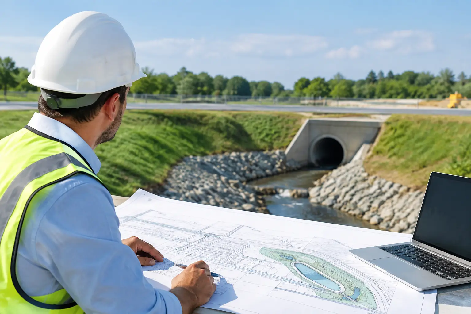
A drainage submission can fail even when the proposed drains appear adequate on plan. A single unresolved site level, an unprotected overland flow route, or a connection that cannot be built at the stated invert level can trigger authority comments and hold up the wider development program. Civil design for drainage approval must therefore do more than show pipes and catch basins. It must demonstrate that stormwater can be collected, conveyed, detained where required, and discharged safely under actual site conditions.
For developers, owners, architects, and contractors in Singapore, drainage is closely tied to planning, road interface, structural coordination, construction sequencing, and PUB requirements. Treating it as a late-stage drafting exercise usually creates avoidable redesign. The most reliable approach is to establish drainage constraints early, coordinate the technical design across disciplines, and submit drawings and calculations that can be checked without assumptions.
What Civil Design for Drainage Approval Must Prove
A drainage authority is not only reviewing whether water has somewhere to go. The review considers whether the proposed system protects the development, neighboring properties, public drainage assets, and downstream infrastructure. The design must respond to the site’s existing and proposed topography, the approved development footprint, available discharge points, and the applicable surface water drainage requirements.
At a practical level, the submission needs to show a credible path for both minor and major storm events. Minor flows may enter grated inlets, slot drains, scuppers, or surface channels before entering an internal pipe network. When that system reaches capacity or an inlet is temporarily blocked, major overland flow must still move away from buildings, critical access points, electrical rooms, and vulnerable neighboring lots.
This is why finished platform levels, threshold levels, road levels, drain inverts, and external ground gradients must agree. A drainage layout may look compliant in isolation yet become unbuildable when coordinated with the architectural entrance, retaining wall, basement ramp, or utility corridor.
The site levels are the foundation
The proposed level strategy is often the first issue that determines whether the drainage concept will work. Designers must assess existing contours and survey information, the level of adjacent roads and properties, the connection level of the receiving public drain, and any flood protection or minimum platform-level requirements that apply to the site.
If the internal drain is too shallow, it may not discharge by gravity to the approved outlet. If it is too deep, it can conflict with foundations, services, or construction feasibility. Raising the platform may improve protection from surface runoff but can create boundary retaining works, altered access gradients, and new overland flow impacts. There is no universal level solution. It depends on the site, the surrounding drainage network, and the proposed use of the property.
The system must be hydraulically and physically coordinated
Drain sizes, gradients, inlet spacing, manhole locations, and outlet details should be selected through a coordinated hydraulic and constructability review. A large pipe cannot compensate for poor surface grading. Likewise, well-graded pavement will not resolve a restricted downstream connection or an undersized public drain interface.
The design should identify catchment areas and flow paths, then confirm that the proposed network has appropriate capacity. Where detention, retention, pumping, or specialized treatment measures are necessary, they should be integrated into the civil plan rather than added after the architectural layout is fixed. Each solution carries trade-offs. Detention systems require space and maintenance access. Pumped systems introduce operational dependency. Deep gravity drains may affect cost and structural coordination.
Start With Due Diligence, Not a Standard Detail
Early drainage due diligence prevents the design team from committing to layouts that cannot obtain approval. Before detailed drawings are prepared, the consultant should review the development proposal, available survey data, existing drainage records, nearby public drains, road reserve interfaces, and known site constraints. For addition and alteration projects, this should include an inspection of the existing drainage system and a check of what can realistically be retained.
The scope may also need to account for land use conditions, future road widening, easements, diversion requirements, conservation constraints, and utility congestion. Industrial sites deserve particular attention because loading yards, process areas, roof runoff, tanker zones, and external equipment pads can substantially change runoff patterns and drainage quality requirements.
A field verification is valuable where records are incomplete or site conditions have changed. Cover levels, invert levels, visible outfalls, existing sumps, and boundary drainage features should not be assumed from outdated drawings. Designing around an assumed outlet level is a common source of late revisions.
Build the Submission Around Clear, Checkable Information
A technically sound drainage concept still needs a submission package that gives the reviewing authority a complete, consistent basis for assessment. Civil drawings should make the drainage intent easy to verify. Ambiguous plans create questions, and questions create time loss.
A typical submission package may include the drainage layout plan, proposed and existing levels, drainage profiles, cross sections at critical interfaces, catchment delineation, hydraulic calculations, connection details, and construction notes. The exact documents depend on project type, scale, and authority requirements, but the underlying objective is consistent: show what is proposed, where water will flow, and how the work will connect to the public drainage system.
Profiles are especially important where the pipe route passes under driveways, building entrances, roads, or structural elements. They reveal whether the proposed fall is viable and whether cover, crossings, and connection levels can be achieved. Sections are equally useful at retaining walls, ramps, thresholds, and boundary interfaces where surface runoff behavior cannot be understood from a plan view alone.
Submission coordination also matters. Civil plans must align with the architectural site plan, structural foundation design, mechanical plant locations, landscape proposals, and utility routing. A relocated bin center, transformer, ramp, or planter can block an inlet line or change the drainage catchment. The civil designer should be involved when these changes occur, not only after drawings have been issued.
Common Reasons Drainage Submissions Receive Comments
Most drainage comments arise from incomplete coordination rather than unusual engineering problems. The following issues should be actively checked before submission:
- Proposed finished levels do not demonstrate a safe overland flow path away from buildings and adjacent properties.
- Internal drain inverts, gradients, or pipe sizes are inconsistent between plans, profiles, and calculations.
- The proposed discharge connection lacks sufficient information on location, level, ownership, or approval interface.
- Architectural, structural, and civil drawings show conflicting site layouts, slab levels, ramps, or boundary treatments.
- Drainage maintenance access, silt control, or construction-stage arrangements have not been properly addressed.
These issues can be avoided through an internal design review before the authority submission. The review should test the drawings as a contractor and reviewer would: Can the drains be set out? Can the pipes achieve their stated falls? Is there access to maintain chambers and treatment components? Does the site still drain safely if surface inlets are overwhelmed?
Design for Construction and Long-Term Operation
Approval is a key milestone, but it is not the end of drainage responsibility. The approved design must be translated into site setting-out, coordinated with actual excavation levels, and protected from changes made during construction. Contractors should not shift manholes, alter falls, or substitute drainage components without confirming the engineering and approval implications.
Construction-stage drainage also requires attention. Temporary runoff, exposed soil, sediment, and stockpile locations can affect neighboring drains and public infrastructure. Erosion and sediment controls must be planned alongside permanent works, particularly on constrained sites or projects that are constructed in phases.
After completion, the property owner or facility manager needs clear information on drain maintenance responsibilities. Grates, channels, catch pits, detention features, pumps, and treatment devices only perform as designed when they remain accessible and are regularly maintained. A system that is technically compliant at completion can become a flooding risk if debris, unauthorized alterations, or neglected equipment reduce its capacity.
Use an Approval-Led Civil Design Process
An approval-led approach brings survey interpretation, level planning, hydraulic design, discipline coordination, and statutory submission work into one controlled process. This is particularly valuable for projects with tight programs, difficult discharge conditions, basement works, redevelopment constraints, or multiple authority interfaces.
Aman Engineering Consultancy supports civil design, drainage submission coordination, technical documentation, and related authority approval workflows as part of a broader multidisciplinary project service. Coordinating civil drainage requirements with architectural, structural, M&E, and regulatory deliverables helps reduce conflicting information before it reaches the reviewing authority.
The most useful question to ask at the start of a project is not, “Where can we place the drain?” It is, “How will water move across this site from storm to outlet, and can every level, detail, and connection be built and approved?” When that question is answered early, drainage design becomes a controlled project component rather than a late-stage cause of delay.