
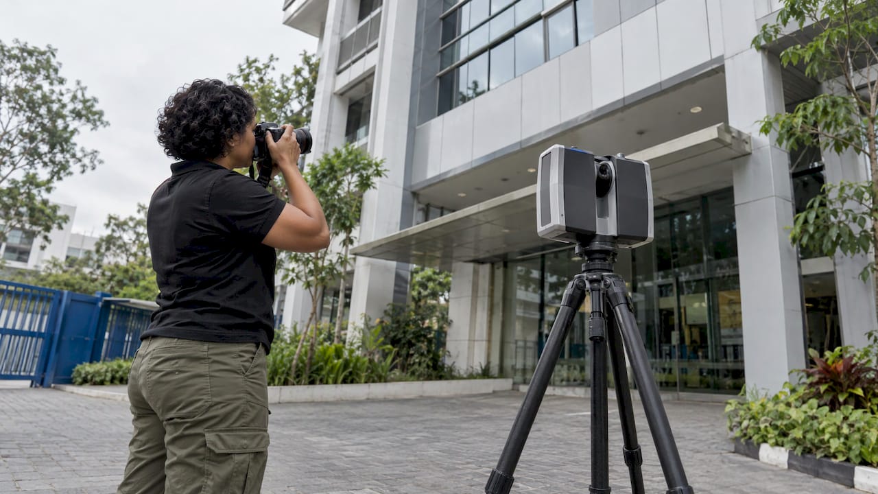
LiDAR measures distance directly with laser pulses, whereas photogrammetry calculates geometry from overlapping photographs. For a Singapore developer, contractor or building owner, the choice is rarely about which technology is better in general. It depends on the deliverable: a figure that will be relied on in an as-built record, a Scan-to-BIM model, a façade condition record or an earthworks volume. The most dependable way to decide is to define the deliverable and its tolerance first, then let a multidisciplinary engineering team specify the capture method, which is the approach Aman Engineering Consultancy applies when 3D BIM and shop drawing work depends on field data.
TL;DR
- LiDAR records ranges directly, so its point cloud is inherently scaled. Photogrammetry derives scale from image overlap, sharp images and surveyed ground control points.
- A 2026 review of built-environment surveys found laser scanning averaged 4.4 cm absolute error against 7.3 cm for photogrammetry, though results vary by site and workflow.
- Photogrammetry is well suited to open, well-lit, textured surfaces and colour-rich deliverables. LiDAR is suited to dark interiors, plain walls, vegetation and thin structures.
- Selection should weigh accuracy, equipment cost, field time, processing effort and intended use, not accuracy alone.
- Combining both gives geometry from LiDAR and colour and texture from photographs in one georeferenced model.
Table of Contents
- How each method produces a 3D record
- Accuracy: what the evidence shows
- Site conditions that change the result
- Cost and effort in Singapore
- Choosing by deliverable
- Combining LiDAR and photogrammetry
- From point cloud to usable engineering information
- Perspective
- Where Aman Engineering Consultancy fits
- FAQ
- Sources
How each method produces a 3D record
LiDAR
LiDAR (light detection and ranging) is an active system. It emits laser pulses and records the time each return takes, producing millions of measured points known as a point cloud. Because each point is a range measurement, the cloud is scaled without further reference. Several platforms exist, and a peer-reviewed comparison of terrestrial, mobile and airborne LiDAR found that:
- mobile mapping units are the most versatile, since they can be mounted on vehicles or carried on foot;
- airborne scanning covers large areas but only from an overhead view;
- ground-based scanners allow vantage points around a building but cannot capture its higher portions.
Photogrammetry
Photogrammetry is a passive method. Software matches features across many overlapping photographs, usually taken from a drone or a handheld camera, and triangulates their positions. Its scale and accuracy are earned through capture discipline: sufficient overlap, sharp images, controlled lighting and, for georeferenced work, surveyed ground control points. The output is typically a textured mesh, an orthomosaic and a point cloud that carries true colour.
In both cases the point cloud is raw material. As a 2025 Singapore study on digitalisation and BIM notes, turning site data into point clouds and 3D models supports collaboration and cross-platform BIM compatibility, which in turn aids reporting and decision-making.
Accuracy: what the evidence shows
Published figures differ because instruments, distances and workflows differ. Three independent findings are useful reference points.
| Source | Finding |
|---|---|
| 2026 ITcon review of built-environment surveying | Laser scanning surveys averaged 4.4 cm absolute error versus 7.3 cm for photogrammetry, a 2.9 cm difference. Aerial photogrammetry reached 4.0 cm in one case study and terrestrial laser scanning 4.3 cm in another. |
| 2023 terrestrial laser scanning study | Direct measurement on LiDAR point clouds was estimated at 4 mm, with a maximum standard deviation of 3.9 mm. |
| 2025 Singapore earthworks study | UAV photogrammetry volume estimates met a stakeholder’s 5% tolerance, but filtering was insufficient where objects occluded large areas of the soil surface. |
The lesson is that photogrammetry can meet a practical tolerance on open ground, while static laser scanning achieves millimetre-level results at close range. The tolerance written into the brief should therefore decide the method. A 5% volume tolerance on a cleared platform and a few millimetres on a façade element or a plant room are different problems.
Horizontal and vertical accuracy
One engineering media analysis explains that photogrammetry is generally more accurate in the horizontal plane (X and Y), while LiDAR is more accurate vertically (Z). For levels, slopes and drainage falls, vertical accuracy is usually the controlling factor.
Site conditions that change the result
Singapore sites present a range of conditions that affect each method differently.
- Lighting. The ITcon review found photogrammetry errors were smaller when lighting of the space and elements was optimal. Plant rooms, basements, car parks and risers rarely offer that. LiDAR supplies its own illumination and is not dependent on ambient light.
- Plain surfaces. Photogrammetry needs visible texture to match features. Plain painted walls, glass and water give it little to match, so models can contain gaps or distortions.
- Vegetation. Photogrammetry sees only the canopy surface. Airborne LiDAR can receive returns through gaps in foliage and reach the ground, which matters for terrain models on vegetated sites and slopes.
- Occlusion. Both methods record only what they can see. Stockpiles, site cabins, plant and hoarding can hide the surface being measured, and the 2025 Singapore study shows that filtering does not fully correct this. Planning vantage points matters as much as the instrument.
- Vertical faces. Drone photogrammetry is efficient across broad horizontal areas but can under-sample steep cut faces and shaded embankments. Ground-based laser scanning records near-vertical faces and trench walls in finer detail, at the cost of more set-ups and registration time.
For earthworks planning, the surveyed surface is the starting point for volumes, haulage and sequencing. A practical overview of bulk excavation and clearing shows why a reliable baseline surface matters before machinery is mobilised.
Cost and effort in Singapore
Acquisition cost is only one part of the budget. The ITcon authors observe that the apparently low entry cost of photogrammetry can be eroded when incomplete or misaligned models require re-acquisition or extensive corrective processing. Equipment cost and field time must therefore be read together with processing time.
A 2023 ISPRS Archives study of Singapore shophouses gives local device costs:
| Device | Capture type | Cost |
|---|---|---|
| Matterport | Panoramic imagery | SGD 3,000 |
| Flyability Elios2 | Photogrammetry scanner on a drone | SGD 61,000 |
| GeoSLAM ZEB Horizon | Mobile LiDAR | SGD 75,000 |
| Leica RTC360 | Static LiDAR | SGD 100,000 |
The same study found the static LiDAR produced the highest geometric accuracy, the Elios2 produced the most realistic architectural detail, and Matterport gave the clearest inspection photographs. No single device led on every criterion, which is why the intended use must be specified first. The authors also note that buildings with a wide range of feature types may need different levels of detail (LOD) set per feature.
Choosing by deliverable
The ITcon authors argue that technique selection should not rest on geometric accuracy alone, but on a trade-off among accuracy, equipment cost, field acquisition time, processing requirements, portability and intended use. Applied to typical Singapore project deliverables, that trade-off produces the following starting points.
| Deliverable | Typically better suited | Reason |
|---|---|---|
| As-built documentation of interiors and Scan-to-BIM | LiDAR | Direct, scaled measurement in uneven light and on featureless walls |
| Clash checking and renovation measurement | LiDAR | Dimensions are relied on and must be defensible |
| Façade condition record with visual defects | Photogrammetry, with LiDAR for geometry | True-colour imagery shows cracks and staining; scanning gives deviation and geometry |
| Site progress and earthworks volumes on open ground | Photogrammetry with ground control | Broad coverage, lower cost per hectare, orthomosaic output |
| Vegetated slopes and terrain models | Airborne LiDAR | Ground returns through foliage gaps |
| Heritage and shophouse documentation | Combination | Geometry and photographic realism are both required |
These are starting points, not rules. Access windows, occupancy and the tolerance in the specification can reverse them.
Combining LiDAR and photogrammetry
The two methods complement each other. LiDAR contributes elevation and structural geometry, while photogrammetry contributes high-resolution texture and colour. Georeferencing both datasets in the same coordinate system gives a model with optimal accuracy, as the engineering media analysis cited above explains. A colourised point cloud assigns each LiDAR point a colour taken from the photographs, which makes the data far easier for non-specialists to interpret in design reviews.
For a building owner or developer, the combined record is most valuable when it will serve several users: the structural engineer reading deformation, the façade engineer reading defects, and the BIM coordinator building a federated model. Capturing once for all three avoids repeated mobilisation.
From point cloud to usable engineering information
A point cloud does not satisfy a regulator or a contractor on its own. It becomes useful when it is interpreted and converted into drawings, models and certified submissions.
- As-built drawings. Field data should be reconciled with the design intent and the approved plans. See Aman’s guide to as-built drawing preparation.
- BIM models. Point clouds feed BIM modeling services and discipline coordination, where conflicts are resolved before fabrication. See also BIM coordination for fewer construction conflicts.
- Condition surveys. Baseline records of neighbouring structures support dilapidation surveys and building impact assessments, where reliable measurement and dated imagery both carry weight.
- Periodic inspections. For Periodic Façade Inspection, imagery and measured geometry support the engineer’s findings. See the periodic facade inspection guide for owners.
Perspective
Capture technology is a means to a deliverable, and that is the point from which we begin every engagement. A point cloud that cannot be tied to a drawing, a model or an authority submission has not yet served the project.
Our team combines statutory submission expertise with multidisciplinary professional engineering coordination, including BIM and integrated drone inspection capabilities. This allows the capture method to be chosen against what the project must ultimately submit, certify or build, rather than against the instrument available.
In our experience of the regulatory process, the cost of an unsuitable method does not appear at the scan. It appears later, as re-acquisition, corrected models or queries from an authority. Specifying the tolerance, the surfaces and the lighting conditions at the outset is the most reliable way to avoid that.
Aman
Where Aman Engineering Consultancy fits
Aman Engineering Consultancy provides 3D BIM and shop drawing production, real estate inspection, and the authority approvals and periodic inspections (PSI and PFI) that depend on dependable site data. The firm states that it offers single-point statutory coordination, a multidisciplinary PE team and a 99% authority clearance rate. Developers, contractors and owners who need a survey method matched to a submission or a model can begin at the Aman Engineering Consultancy website.

FAQ
Is LiDAR more accurate than photogrammetry?
In the 2026 ITcon review, laser scanning averaged 4.4 cm absolute error against 7.3 cm for photogrammetry. Aerial photogrammetry with good control still reached 4.0 cm in one case study. Accuracy depends on the workflow as much as on the technology, so the specified tolerance should guide the choice.
Which method suits a building interior?
Interiors usually have uneven light and plain walls, which are the conditions in which photogrammetry loses reliability. LiDAR supplies its own illumination and records range directly, so it is generally the more dependable starting point for interior as-built work and Scan-to-BIM.
Can the two be used together?
Yes. LiDAR provides scaled geometry and photogrammetry provides colour and texture. When both are georeferenced in one coordinate system, the combined model carries the strengths of each, and a colourised point cloud is a common deliverable.
What drives the cost of a survey?
Device cost, field time and processing effort all contribute. The Singapore shophouse study lists devices from SGD 3,000 to SGD 100,000, and the ITcon authors caution that re-acquisition and corrective processing can erode the apparent saving of a cheaper capture method.
Sources
- Digitalisation and Building Information Modelling, Buildings 2025
- Exploring Digital Documentation for Shophouses in Singapore, ISPRS Archives 2023
- Comparison of Surveying Techniques for the Built Environment, ITcon 2026
- Evaluation of Different LiDAR Technologies, PMC
- Efficiency of Terrestrial Laser Scanning in Survey Works
- How do LiDAR, laser scanning, photogrammetry and GNSS compare, Engineering.com
- How bulk excavation and clearing works